A journey round New Zealand in February 2007
Day 1 - Arrival in Christchurch
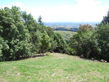
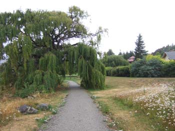
We landed in the morning, and in the afternoon went for a walk in the Port Hills, starting from the visitor centre in Victoria Park. There are lots of good walks here, with panoramic views of Christchurch.
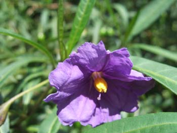
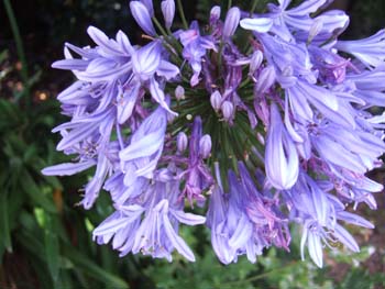
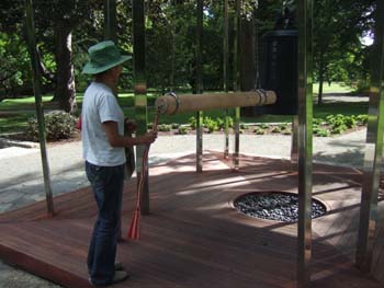
and then we went on to the Botanical Gardens and found this "Peace Gong"
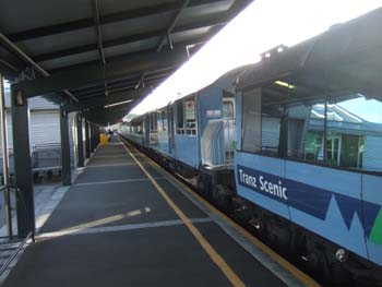
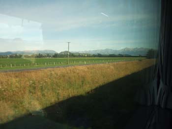
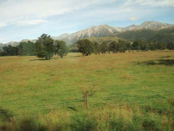
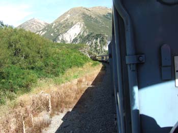
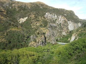
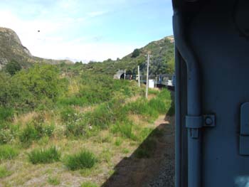
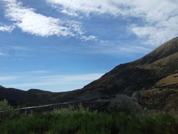
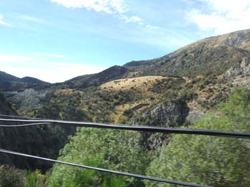
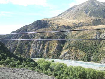
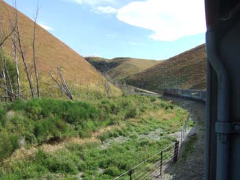
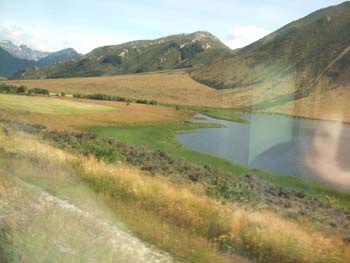
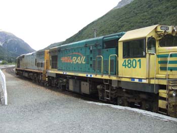
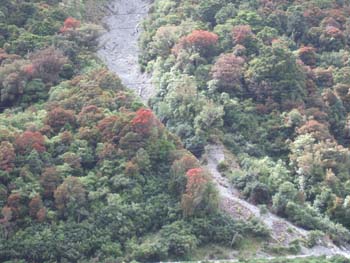
- Christchurch to Greymouth by TranzScenic train - fine weather
- Greymouth to Punakaiki by car hired in Greymouth - raining until late evening
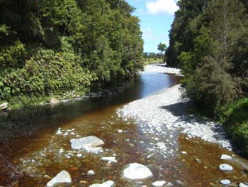
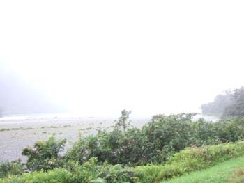
- Picked up car in Greymouth and drove 35 km to Punakaiki
- Overnight at the Punakaiki Rocks Hotel - v. comfortable and good restaurant
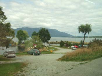
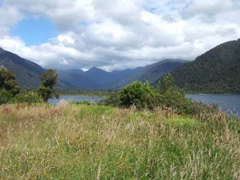
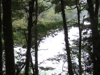
Punakaiki - view from our bedroom
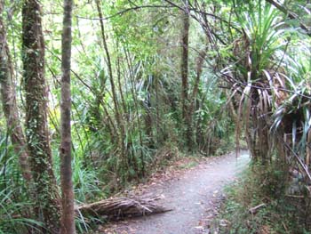
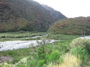
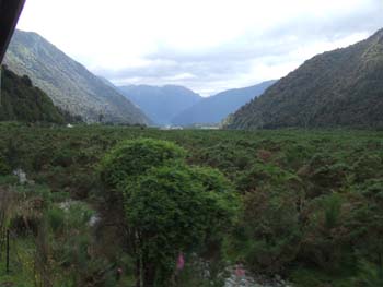
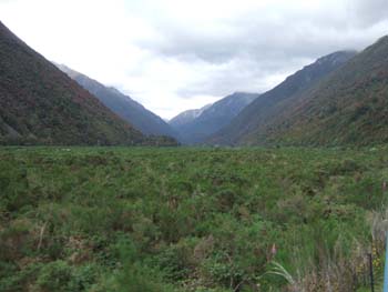
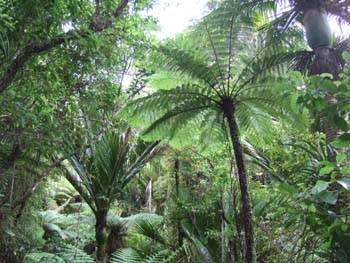
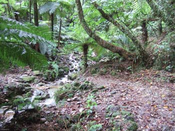
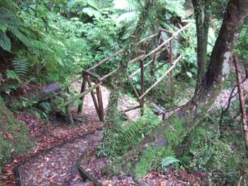
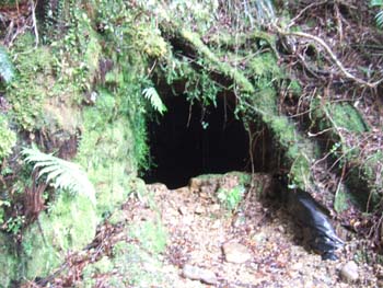
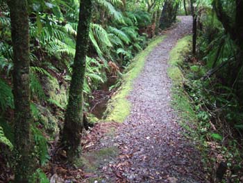
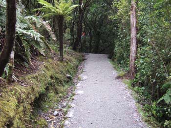
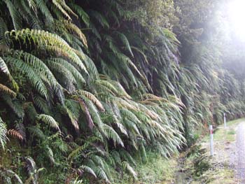
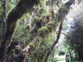
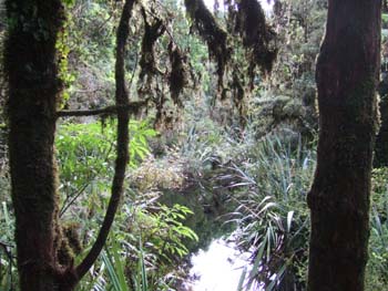
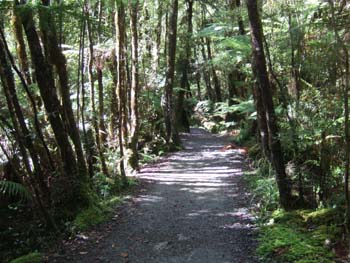
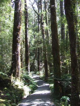
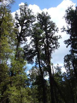
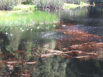
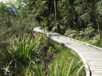
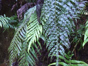
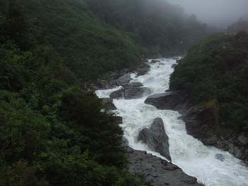
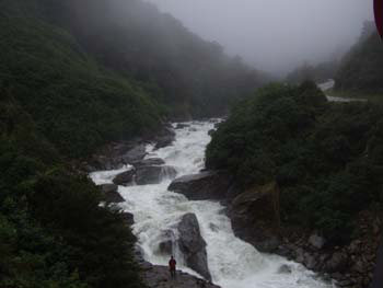
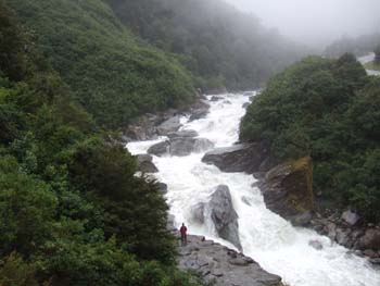
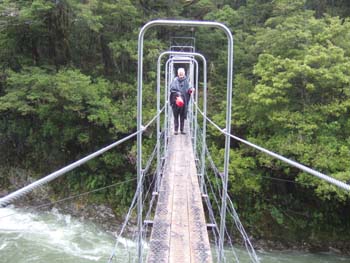
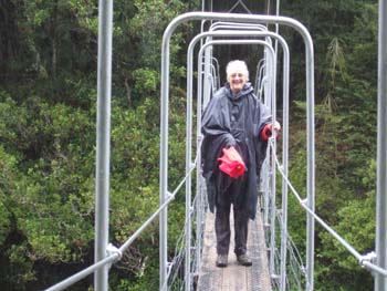
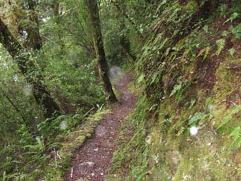
Paparoa National Park - A short walk through the rain forest
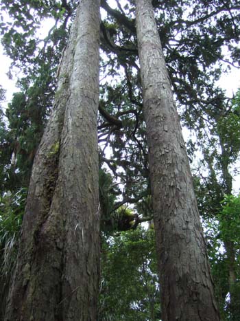
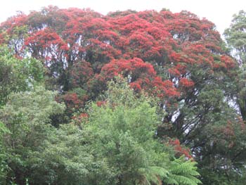
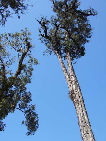
The trees in New Zealand are huge! This is the bottom half of a red pine
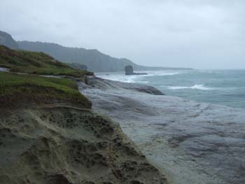
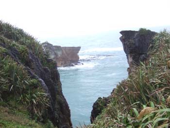
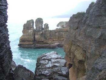
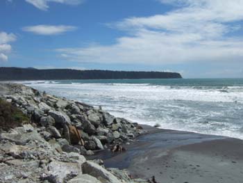
The circular walk to the "pancake" rocks and the blowhole (which only funtions with a larger swell than today)
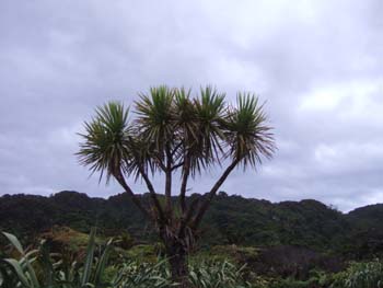
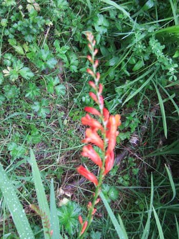
Cabbage trees
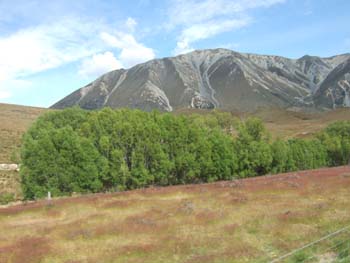
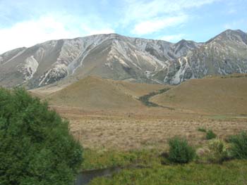
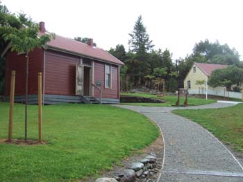
- Visit to the old mining town of Ross and the water flume trail - fine weather
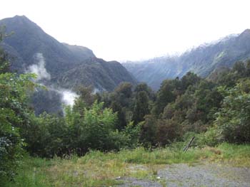
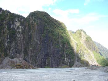
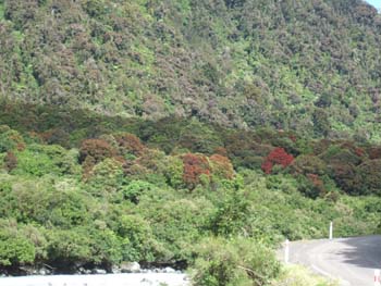
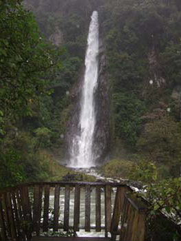
- Some walks near the Franz Josef glacier - thunder and lightning
- Fine early on, raining for most of the rest of the day
- 216 km. driving
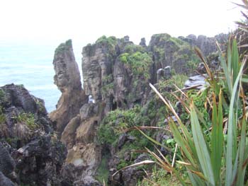
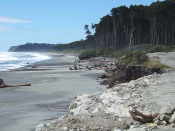
Repeat visit to the pancake rocks in the morning
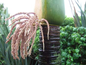
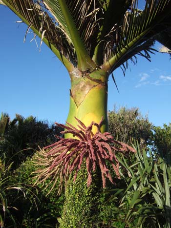
Nikau palm with curious flowers (left)
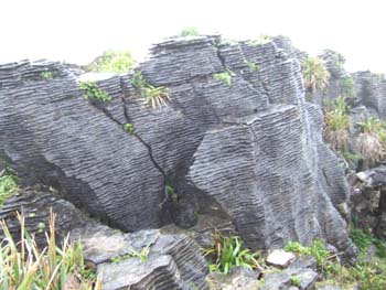
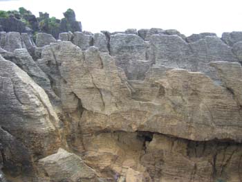
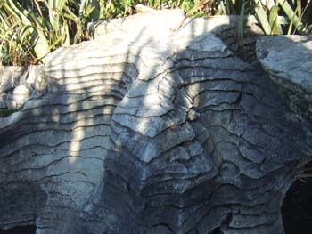
Close-up of the striated formation of the pancake rocks (above)
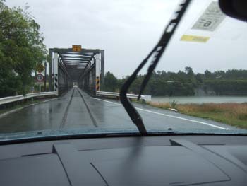
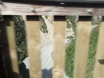
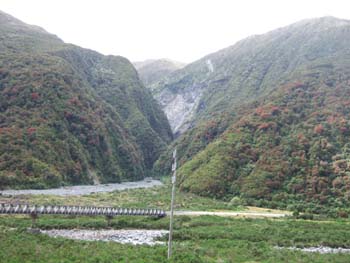
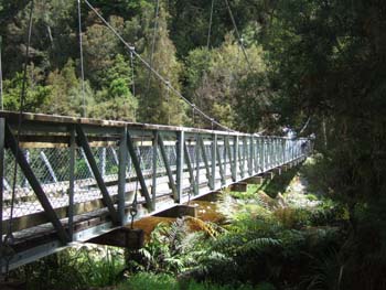
Single track bridge shared with a railway
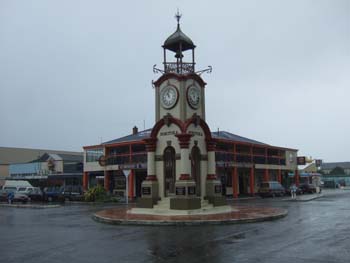
Town clock in Hokitika where we visited the jade factory - still pouring with rain!
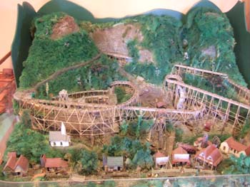
The gold mining town of Ross - model of the elaborate structure of flumes with covered the valley a hundred years ago
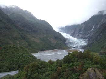
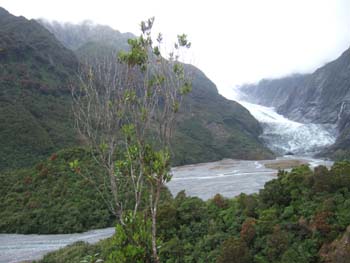
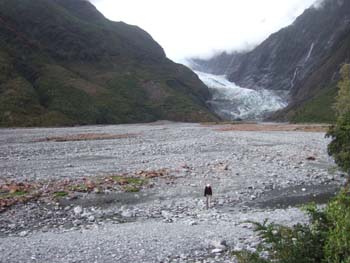
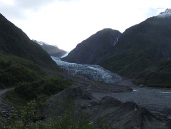
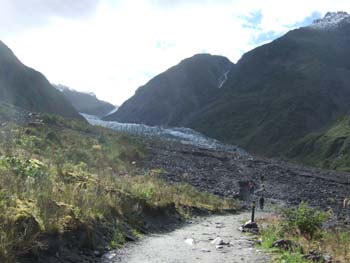
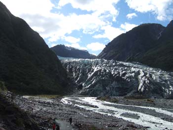
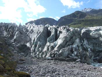
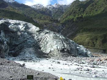
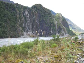
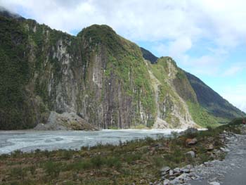
- Walk to the foot of the Fox Glacier
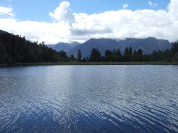
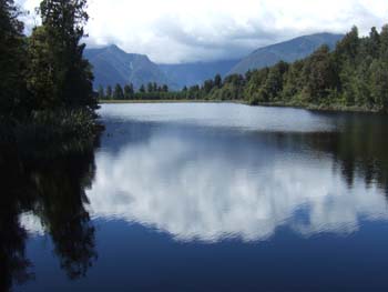
- Walk around Lake Matheson
- Visit to the Peak look out
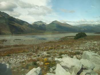
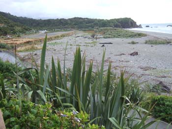
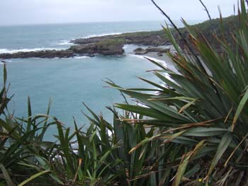
- Back to the coast at Bruce Bay
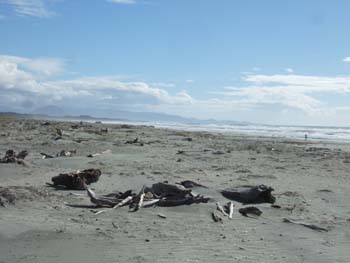
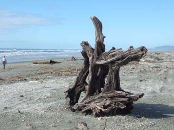
- Evening walk on the beach at Haast - only sandflies for company
- Fine weather all day
- 140 km. driving
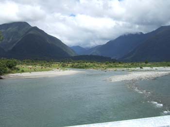

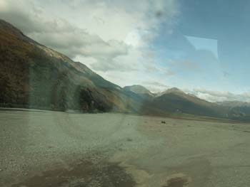
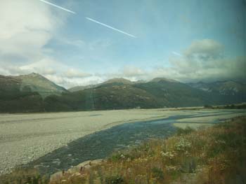
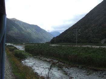
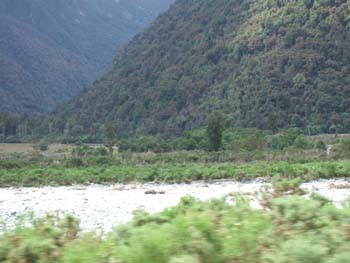
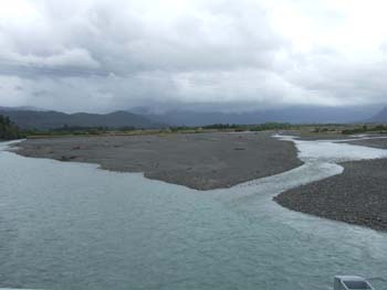
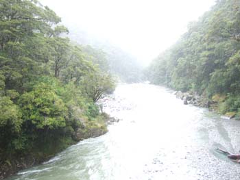
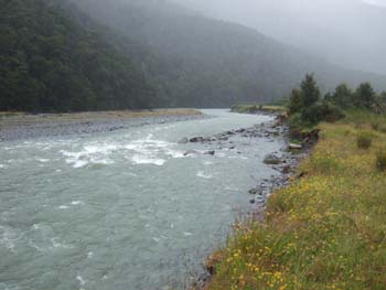
- Gigantic flood plain of the Haast River
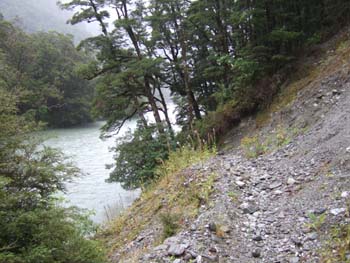
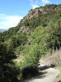
- Walk down the old drove road near the Haast pass
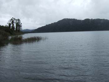
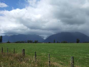
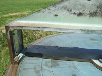
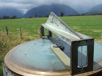
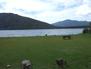
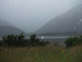
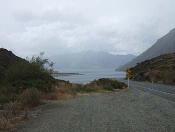
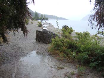
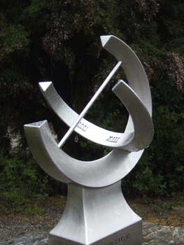
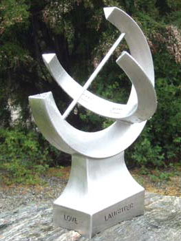
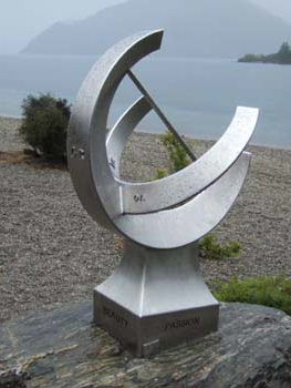
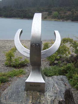
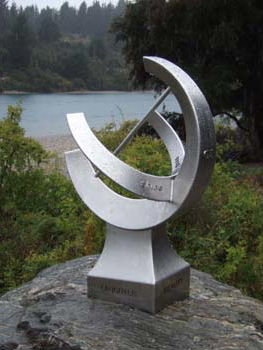
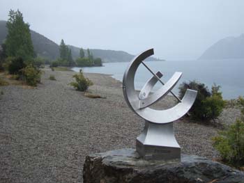
- Walk along Lake Wanaka
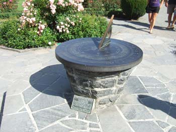
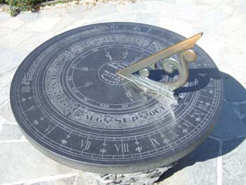
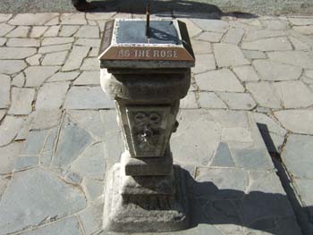
- the sundial at the Outlet, Wanaka
- It rained all day - and quite hard at times
- 146 km. driving
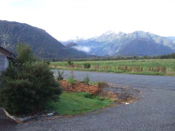
View from the door of our motel room
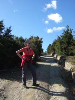
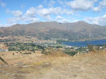
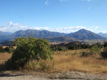
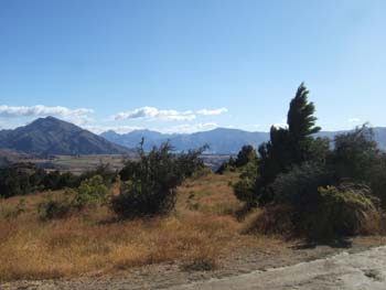
- Ascent of Mount Iron with panoramic views of the mountains and lakes around Wanaka
- Weather: fine all day
- Briefing for Routeburn walk in the afternoon and buying more equipment
- 117km. driving
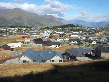
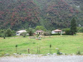
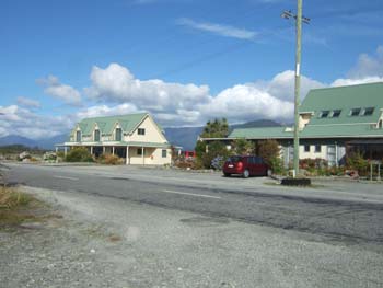
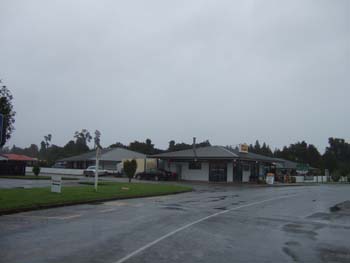
Typical NZ urban development
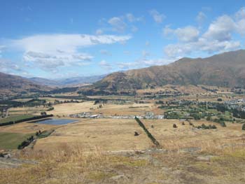
180 sweep from W to N to E
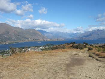
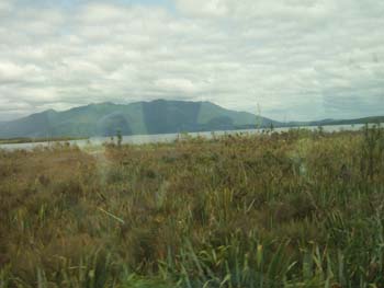
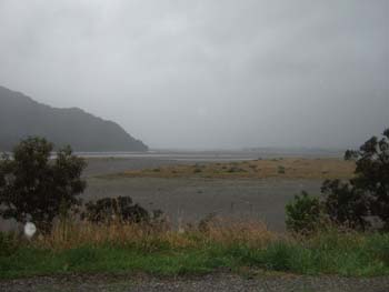
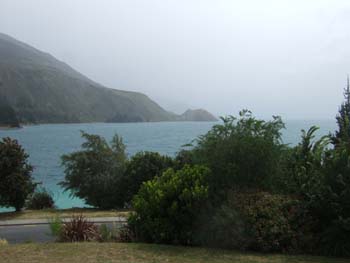
Lake Wanaka
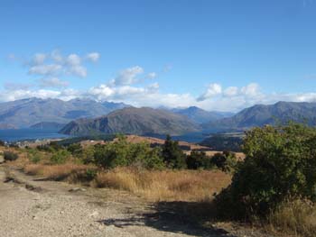
Lake Hawea in the distance - the two lakes are only separated by a narrow isthmus
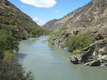
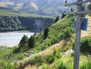
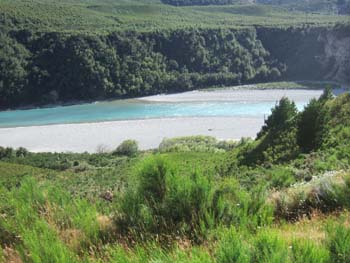
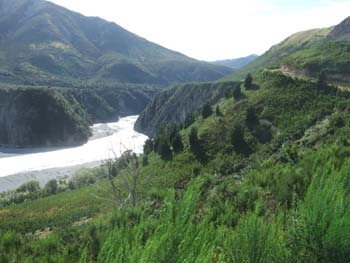
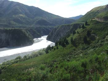
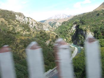
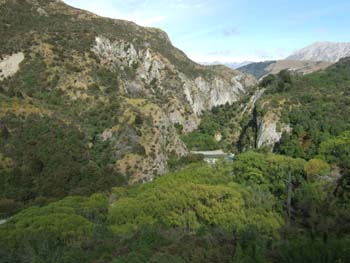
Gold mining gorge on the way to Queenstown
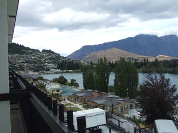
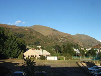
View from our bedroom window
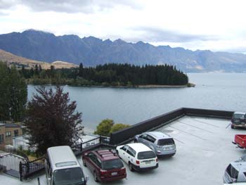
The Remarkable range , remarkable for their jagged appearance and for running due north-south
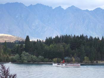
The pleasure steamer
Please click here to continue
This page written and maintained by Internetworks Ltd